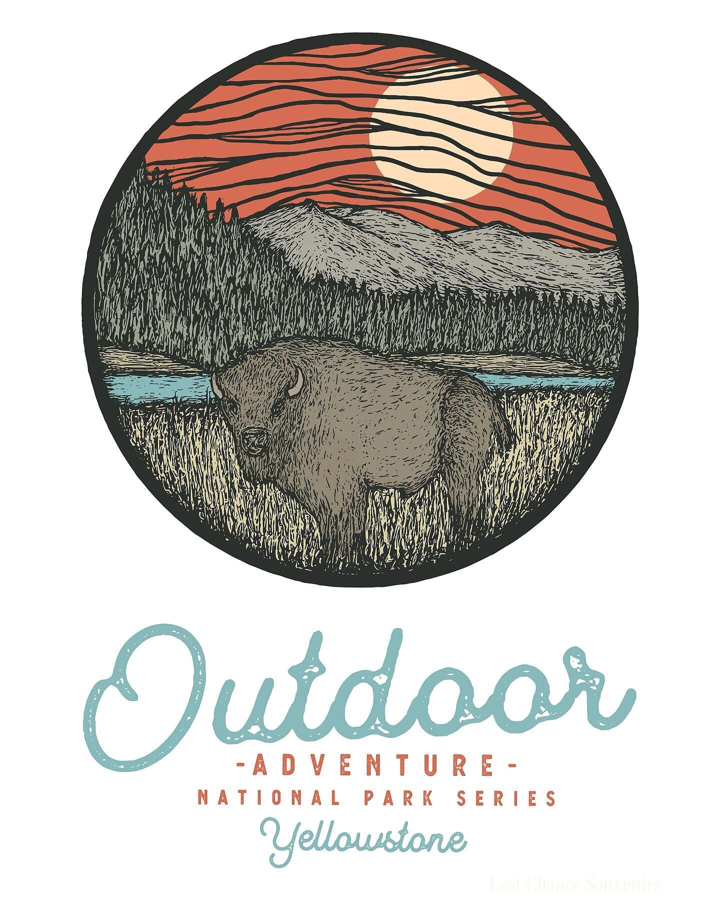

A Day In Yellowstone National Park: Grandpa's Road Trip To LaMar Valley To See The Bears
/
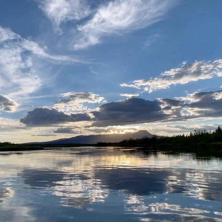
Why visit this beautiful valley quite a distance from here at Macks Inn, Idaho? I have discovered this to be one of the better opportunities for the hopeful viewing of grizzlies, wolves (no guarantees; but they are often seen in this valley) and bison. Spotting scopes are helpful in seeing wildlife, as are binoculars. Two herd of bison migrate throughout the Park so you should contact Visitor Information in West Yellowstone or at the Park Headquarters at Mammoth Hot Springs if you want to know recent locations.

Distances are the following: Macks Inn to West Yellowstone Park – 23 miles via Highway 20; Park entrance to Madison Junction – 14 miles; Madison Junction to Norris Basin – 14 miles; Norris Basin to Mammoth Hot Springs – 28 miles; Mammoth Hot Springs to Lamar Valley – 18 miles; Lamar Valley to Cooke City is 29 miles. Travel speed is limited to a maximum 45 mph throughout the Park so don’t plan on freeway speeds in your time requirements.
The drive between West Yellowstone to Madison Junction is a pretty drive and you may see bison and elk depending on time of the year. There are numerous pullouts to see and photograph the natural beauty of the Madison River and hopefully some wildlife.
At Madison Junction, you will make a left turn (well- marked) at the stop sign. If you turn right, you are heading towards Old Faithful.
Approximately 5 minutes of driving, you will be at the viewpoint/parking lot for the majestic 84’ Gibbon Falls. Sufficient parking is almost always available. There are vault toilets here.
Traveling a little further on is Beryl Spring (hot water springs) on your left side. Nice to view and leave.
The next stop sign (4 way) is Norris Geyser Basin. You should do this Geyser Basin on a separate day or combined with a visit over to Canyon or Old Faithful. Norris Geyser Basin will take a minimum of 1.5 hours to do the walk around the paths (handicap accessible). Continue straight through the stop sign (of course, after stopping)!
This travel from stop sign at Norris Geyser Basin into Mammoth Hot Springs is 28 miles. A quick stop (if desired) may be Sheepeater Cliff. There is a picnic area here and also vault toilets. We have allowed our young children to climb on the rocks here. Be sure to read the sign talking about Native Americans (Indians) while here. We often see animals on the cliffs – not dangerous.
Continue on towards Mammoth; you will start a descent on the highway. Stop and see the beauty and also the small, but picturesque waterfall at the top of the Canyon.
After passing some interesting and different rock formations, look for a parking area for “Upper Terrace” of Mammoth Hot Springs. Drive the one-way loop and then the driver may elect to simply drop off others in your vehicle at the end of the one-way drive. Those passengers will then walk down (as opposed to up) the stairs as they view Mammoth Hot Springs. Cell phones work here so the driver can drive to the bottom of the highway (just before entering the community) and park and meet up with the others. The restrooms here at Base of the Hot Springs has running water (regular toilets that flush)!
Spend some time wandering/walking or driving around the community of Mammoth. Park Headquarters is here and also a Post Office and stop by the Visitor Information if desiring additional information.
At Mammoth Hot Springs by the only gasoline station, you will turn right and head towards Tower-Roosevelt. It is an 18-mile drive to get to the turnoff for the Lamar Valley. The drive is pleasant, and you will cross a large and high bridge over Gardner River (nice view) while driving. You will start climbing in height and almost at top of hill (approximately 4-5 miles, estimated) on your left is Undine Falls. There is ample parking, you walk less than 20 yards, and this beautiful falls is right there waiting for you to capture on film or memory. It may not be signposted so watch for a parking lot on your left.

Less than a mile from Undine Falls is my favorite picnic area in the entire park. It is Lava Creek Picnic area and Lava Creek is awesome for small kids to all ages to wade and play in; there are very few tables available at this picnic ground. Vault toilets and a dumpster is available at the grounds. If you want to make the hike to Undine Falls on the opposite side from the highway, leave your vehicle in parking area for picnicking, cross over the small highway bridge and then make a left turn like you were walking back towards Mammoth. It is an easy dirt trail and will give you another view of the falls. (if time is critical, simply see it from the highway already described).
After passing Lava Creek Picnic area, you will see a sign for Wraith Falls. It is worth seeing; however, you hike on a trail approximately 1 mile roundtrip (approximate distance).
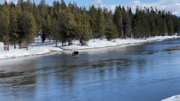
Continue on and you will start descending towards the Lamar Valley. At the base, it is well signposted for Lamar Valley and heading towards the Cooke City, MT entrance to the Park. Hopefully you will see wildlife in this valley. I have often seen grizzlies, wolves, and bison in this valley. The highway also crosses over the majestic Yellowstone River. Drive past both the Slough Creek and Pebble Creek Campgrounds and at least drive to Barronette Peak (10,000 feet) and hopefully see the mountain sheep on the mountain side. I have always seen them when going; however, they are extremely difficult to see with binoculars and/or spotting scopes. I usually turn around here so nothing to add if you go into Cooke City.

On your return, pass Pebble Creek (public vault toilets are available right off the highway) and continue about a mile to the trailhead for Trout Lake (small parking lot which is on your right side). This is an outstanding short, but steep, hike. You don’t see the beautiful lake until you have climbed to the top from parking lot. You can walk completely around the lake or simply admire its beauty and return to your vehicle.
Once getting back to where you turned into the Lamar Valley, you can elect to backtrack your original route, or proceed on to Tower Falls, Mount Washington, Dunraven Pass (this road was closed in 2020 for construction and the pass is often closed until July because of highway snow), then into Canyon Village, then to Norris Geyser, and you are then back to your original route back to Macks Inn and talk about all the bears and more you got to see over dinner at the cabin.